Urban data platforms: Why municipalities rely on open source and open standards
Data in municipal hands, reusable by other municipalities: what CIVITAS/CORE, the Masterportal and the Urban Data Add-on make possible for cities.
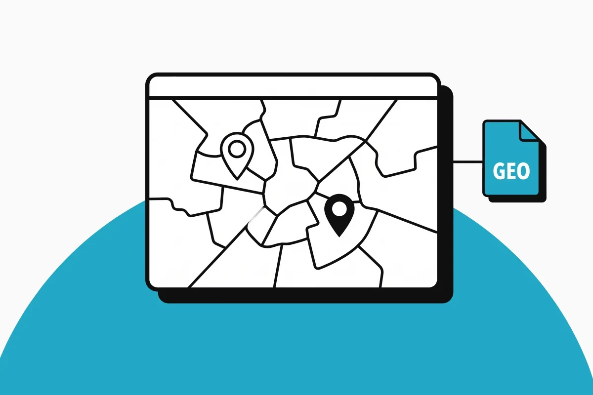
A city generates data in many places. Sensors measure water levels and parking occupancy, specialist systems manage green spaces and building permits, the surveying office maintains geodata. This data often sits in separate systems, each with its own interface and its own license agreement.
An urban data platform brings it together. But the more important question is a different one: who keeps control over data, code and operation? Many municipalities answer it with open source and open standards.
What an urban data platform does
An urban data platform connects three worlds. Data from specialist systems and sensors comes together in one place. Geodata is available as services based on the standards of the Open Geospatial Consortium, for example as WMS or WFS. Roles and permissions are managed by a central identity management system such as Keycloak.
On this basis, applications for the administration and the public are created: specialist applications in the geoportal, low-code apps, for example with Appsmith, or dashboards with Apache Superset. The data exists once and is used many times.
Data in municipal hands
Digital sovereignty sounds abstract. In the day-to-day work of a public administration, it is concrete:
- The data belongs to the municipality. It sits in a database that the city can run itself or have run for it, for example PostgreSQL with PostGIS.
- The code is open. Any service provider can read, review and develop it further. Changing service providers does not mean changing platforms.
- There are no license fees per user or application. The budget goes into development and operation, not into licenses.
CIVITAS/CORE: a shared core
CIVITAS/CORE is open source software that forms the technical core of an urban data platform. It is supported by Civitas Connect e. V., an association founded by municipal utilities in 2020, and a community of municipalities and municipally owned businesses. The core can be adapted and extended, all the way to a platform for a specific city or region.
The source code and the documentation are public. According to the documentation, large parts of the development were funded through the “Modellprojekte Smart Cities” program of the German Federal Ministry for Housing, Urban Development and Building and KfW. Civitas Connect recommends switching to version 2. It brings extensive new capabilities in data management.
As part of a consortium, we are developing this V2 of CIVITAS/CORE for Civitas Connect e. V. That is why we know the platform down to the code. And we know which questions municipalities ask when they introduce it.
The Masterportal as the interface
Many municipalities use the Masterportal as their geoportal. It is also open source and is developed jointly in an implementation partnership of public institutions. The partnership is chaired by the Hamburg Agency for Geoinformation and Surveying (Landesbetrieb Geoinformation und Vermessung), and Dataport is in charge of coordination.
The Masterportal is strong at displaying maps and geodata. But specialist departments need more: capturing data, editing it and releasing it based on roles.
The Urban Data Add-on
This is exactly why we developed the Universal Urban Data Add-on for the Urban Data Platform of the Federal City of Bonn. It turns a JSON configuration into a specialist application in the Masterportal:
- Table and form – the configuration defines which fields appear. Selection lists, file uploads and export are included.
- Spatial filters – narrow down data by polygon directly on the map, combinable with predefined queries.
- Map tools – draw and edit points, lines and areas directly in the Masterportal.
- Roles and permissions – the interface only shows what the database allows the respective role.
With AI, the configuration is created from a use case description. The city’s team builds further specialist applications itself, without setting up a separate project for each one. Find out more on the Urban Data Add-on page.
Public code: funded once, used many times
The “Public Money, Public Code” campaign calls for software developed with public money to be released under a free and open source software license. The Standard for Public Code from the Foundation for Public Code describes how public bodies can develop and reuse such software together.
What one municipality has developed with public money, the next one should not have to pay for again.
We work according to this principle. What we develop on behalf of our clients, we give back as open source. Other municipalities reuse it without license fees. A specialist application created in one city thus becomes the starting point for the next.
Open standards instead of isolated solutions
Open source alone is not enough. Only open standards make components interchangeable. Geodata services based on OGC standards can be integrated into common GIS applications. Keycloak speaks OpenID Connect and can be connected to the administration’s existing directory services. Data in PostgreSQL with PostGIS remains readable with standard tools.
This allows a municipality to replace individual building blocks without rebuilding the platform. And it can migrate existing applications from a spatial data infrastructure that has grown over the years step by step, while operations continue.
The path to your own platform
We adapt to your starting point, whether it is a first specialist application, the replacement of a legacy system or an entire platform. Each stage is useful on its own and lays the groundwork for the next:
- Initial consultation – we clarify your starting point, data inventory and procurement route and tell you openly whether we are a good fit.
- Concept – architecture, data model and roles, coordinated with IT, specialist departments and data protection.
- Implementation – platform, specialist applications and migration in sprints with working interim versions.
- Operation – we run the platform on Kubernetes with GitOps, monitoring, backups and updates. Or we enable your team to take over operation and further development itself.
You can find out more about what we offer municipalities on the Smart City page. If you want to know where a good starting point for your municipality lies, get in touch.